NorthWestern Ontario Recreational trails Association - Thunder Bay
club contact:
Club President Len Day –807-620-9254
Feel free to contact us regarding trip planning.
Follow us on our social media pages!
Scroll down for more local Club information.
Maps for NWORTA TRAILS:
Interactive Web Map (overview of all trail maps for Clubs of the VTA): CLICK HERE
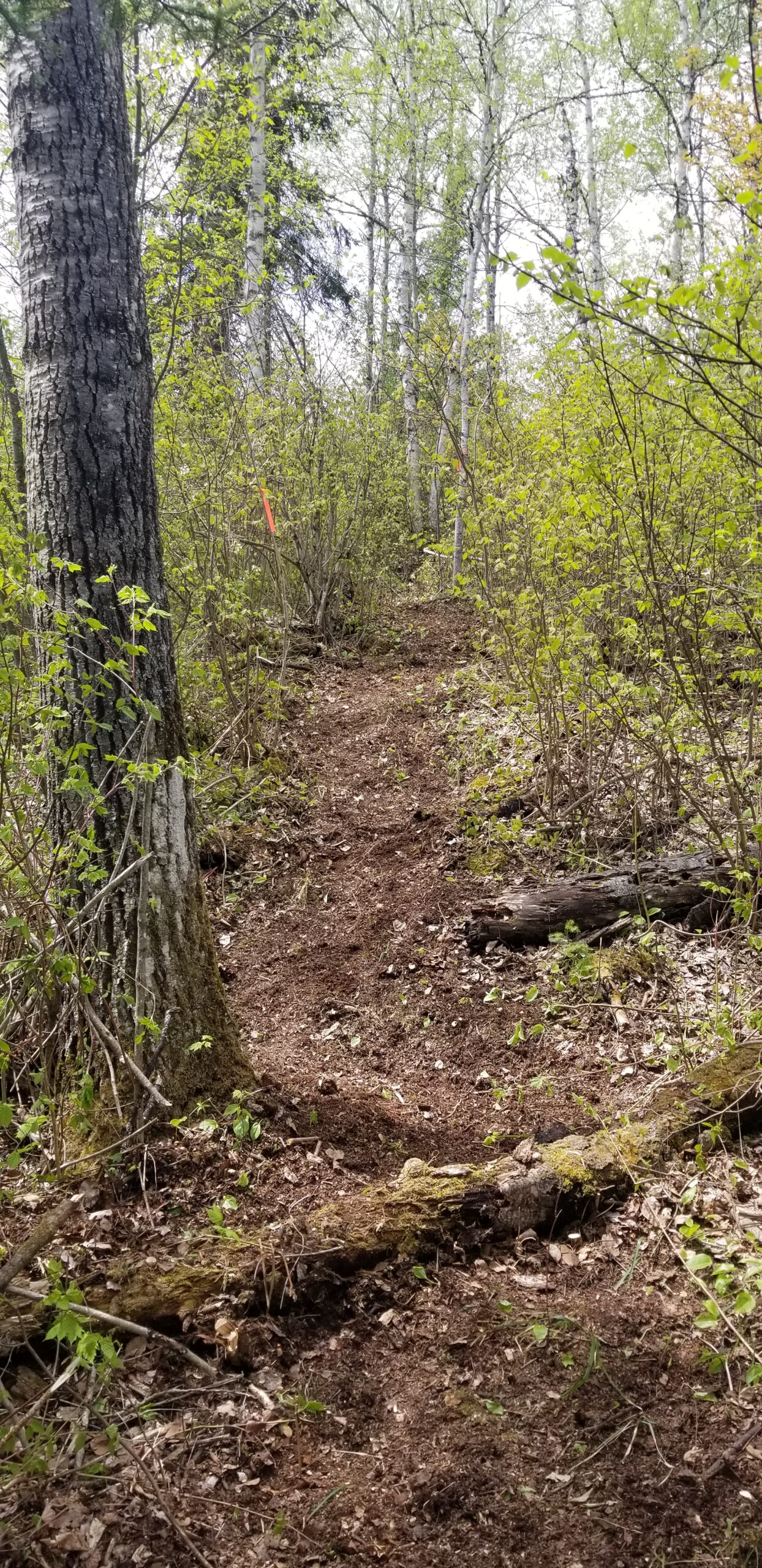
This map shows the full extent of the completed sections of Voyageur Trail.
It is not intended for hiking purposes. The zoom level is restricted
and it does not contain any descriptive information.
From this page you can also view our whole suite of mapping products.
Members of the VTA have full access to these products,
plus they receive an Access Code for our digital maps on the Ondago App.
To purchase your membership, CLICK HERE
Immediately upon receipt of payment members get access (downloadable instructions) to the latest map products covering close to 500 km of trail.
Only the official maps and route descriptions from the Voyageur Trail Association on the Ondago app are accurate, reliable and trustworthy.
club updates & other important information
CLOSURE & REROUTE FOR NWORTA TRAILS WILL BE LISTED HERE IF NEEDED
No closures or reroutes at this time.
Trail sections that we manage:
- BEFORE YOU SET OUT:
All outdoor activities involve some degree of risk. Please, remember that your safety is your personal responsibility. So, be well prepared for your chosen activity and route. Let someone know where you are going and when you plan on being back. Make sure to bring adequate food and water with you for your hike. If you plan to venture off the trail system, make sure you have a compass and a map of the area. - Wear proper footwear, dress for the weather and bring enough water and food for the planned hike.
- Click here for more information on how the VTA applies the trail difficulty classifications to our trails.
Kakabeka Falls Trail (Approved)
Trail difficulty Easy. Length 3.3 km
This is NWORTA’s newest trail, completed in 2025. At 3.3 km., the east trailhead is located at King Road near Fort William Historical Park and terminates at Rosslyn Rd. The trail is a natural-base path suitable for hiking, mountain biking, snowshoeing, and back-country skiing.
The Kakabeka Falls Trail is a Trans Canada Trail affiliated route intending to connect Thunder Bay west to Kakabeka Falls. It is an unpaved greenway along the north untraveled Broadway Avenue right-of-way. Open to cyclists and pedestrians. Dogs (leashed) permitted. The official approved trail terminates at Rosslyn Road and 25th Side Road. There is also a loop trail west of 25th Side Road (Hogarth Plantation Trail).
Hogarth Plantation Trail
Trail difficulty Easy. Length 1.7 km
This 1.7 km trail takes in the beautiful Lakehead University Hogarth Plantation property where majestic pines reside. This short loop is along a private research forest plantation area which is open to the public for use. A great trail for exploring nature close to town and the different species of trees. No motorized vehicles allowed on the trail, but mountain bikes are welcome. Dogs should be on leash for this trail as it is close to private property. Be mindful of all posted signage.
Kakabeka Falls Trail (Unapproved)
Trail difficulty Easy. Length 24.3 km
This proposed 24 km trail starts on Rosslyn Rd. at 25th Sideroad, heading west to end at Kakabeka Falls Provincial Park. It follows paved roads. If approved, it would connect the Kakabeka Falls Trail with the Shabaqua Trail. The route has been mapped for the benefit of walkers and cyclists who wish to complete the entire NWORTA trail system.
Shabaqua Trail
Trail difficulty Trail difficulty Moderate. Length 45.0 km.
This 45 km trail starts on Sovereign Rd. at Hwy. 590, west of Kakabeka Falls, and follows gravelled forest access roads to the northwest, ending at Shabaqua Corners on Hwy. 11/17. The trail is marked with blue rectangular markers painted on trees and poles.
club info:
Founded in May 2021, the NorthWestern Ontario Recreational Trails Association (NWORTA) is a volunteer-driven nonprofit dedicated to building destination-worthy, multi-use trails across the District of Thunder Bay and beyond. Our vision is simple: to connect communities from Nipigon to Atikokan through a free-to-use, year-round trail network.
These trails are open to hikers, mountain bikers, snowshoers, and backcountry skiers, with plans to accommodate horseback riding and dog sledding on certain stretches, in future phases. Wherever possible, trails are designed to showcase the breathtaking landscapes of Northwestern Ontario.
As the network grows, each completed section will become part of the Trans Canada Trail—the longest connected trail system in the world—enhancing the land-based path to complement the Path of the Paddle water route.
local information;
Local Links of Interest:
Thunder Bay Community Economic Development Commission
Ontario’s Superior Country
Parks Canada, Lake Superior National Marine Conservation Area
Local Club Info:
Len Day – President
Jesse Gilbert – Treasurer
Jon Bergsma – Secretary
Charlene MacKay – Director
Scott Hobbs – Director
Susan Kaszuba – Special Director
Cynthia Hodgson – Special Director
Trail Sponsors


Facebook news: Search for "NWORTA" and join the group.


